Flooding in Other Areas
Around Rocky
Mount
Main Page | Candlewood
Area | More Flooding of Rocky Mount | Tarboro
& Princeville |
Aerial Views of Rocky Mount | Other
Links with Flood Photos | How You Can Help | Recovery
Pictures may take a minute or
two to load
Over 22% of Rocky Mount was flooded
(see City map showing
flooded areas) and Aerial Views

Rocky Mount Mills Dam on the Tar River - Flooded Conditions
Note gate house, which sits 7 feet above the dam,
at one point was covered with water. Picture taken by John Mebane
the day after River had crested.
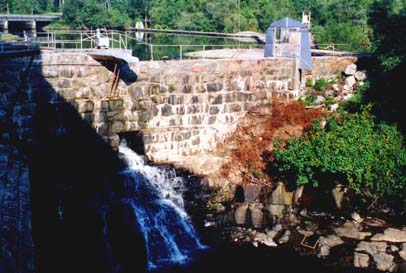
Normal conditions at Rocky Mount Mills Dam

Front Yard of Martin Hood
residence in Greystone; garage underwater.
Back Yard shown below. Back deck is 18 feet from the ground

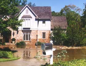
Linda and Randy Evans House in Greystone
after Stony Creek water was beginning to recede.
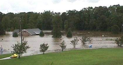
Horace and Betty Penny's home on Carriage
Trail
near Hwy 64
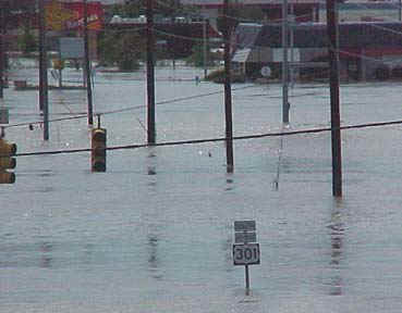
Hardee's on Sunset Ave.
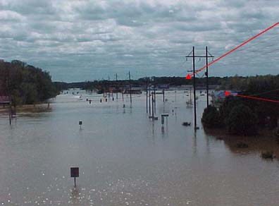
Tarrytown Mall (upper arrow) and Ihop/Lowes
on Hwy 301 looking south
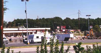
Once the largest Mall east of Greensboro when built in
the 60's
Tarrytown Mall was completely flooded. Millions of dollars worth of
the
soggy merchandise was pulled and declared a loss, along with a charter
school.
As of December 1999, there have been no plans to rebuild.
(NOTE: as of March 2006, it is finally being torn down and
replaced
by a Sam's Club. See photo at
www.danieldesign.com/hurricane.htm
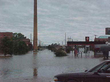
Sunset Ave. looking west towards Power Plant
taken from Quintessentials

Fairview Road at E. Grand Avenue looking East
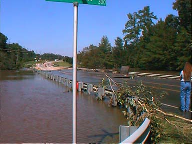
Winstead Avenue near Hospital
Water had subsided but road still closed.
Note the mattress size pieces of concrete peeled up on rail
Major roads into and out of Rocky Mount were blocked for 2 days
by flooding of the Tar River and Stony Creek
Nearby Interstate 95 also closed for 3 days
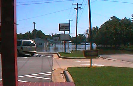
This picture taken at MacDonald's/Taco Bell on Sunset shows an
incredibly large body of water
created by the flooding and merger of the Tar River and Stony Creek
that stretched from this point to City Lake to Rivera Drive and on to Tar River.
Tarrytown Mall, Chamber of Commerce, Lowe's, old Kmart
Plaza,
Quintessentials, Hwy 301 and 64 intersection , and a good portion of West Haven
(Lafayette Circle and Wildwood Ave) submerged under this huge lake that was
formed.
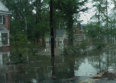
On Forest
Hills looking towards Sunset Ave. the day of the flood
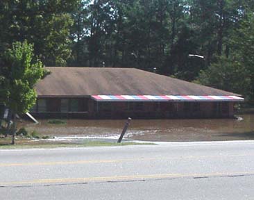
Remax Bldg on Winstead Ave.
More homes and Thorpe Cabin behind it also deeply under water
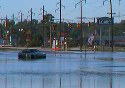
Intersection of Hwy 301 at Hwy 64 Bypass....after water had dropped 12
feet
is part of the large body of water that stretched to MacDonalds
Lowe's has not yet been able to reopen 6 days later
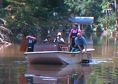
One of the worst situations in town....Lafayette Circle in West Haven 4 days after
the flood
still full of water from nearby Tar River. House in background is second
floor.
Salvaging crew paddling with a chair and a cabinet door. (many had boats, but no
paddles!)
All houses here may be part of a FEMA buy-out.
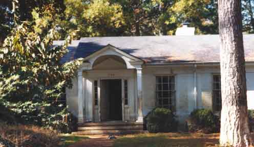
Lafayette Circle home. One of the nicest neighborhoods in Rocky
Mount.
The Tar River overflowed the dike surrounding this neighborhood and inundated
these lovely
homes for days. The water rose during the night and caught everyone by complete
surprise.
Some were rescued hanging onto tree branches for 3 hours after swimming out of
their homes.
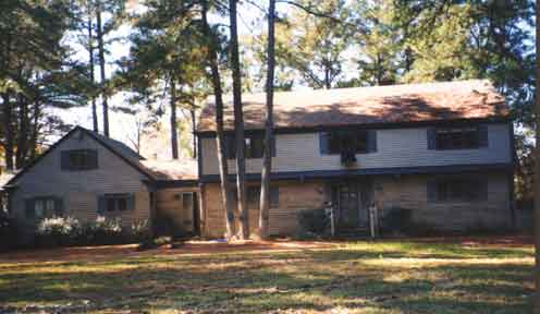
Another Lafayette Circle home. Water line was up to second story and many
residents had to be rescued by boat from their second story roof.
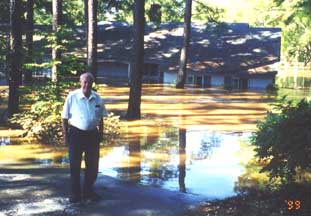
Jimmy Keel watches as the Tar River flows
into his house near the Arts Center
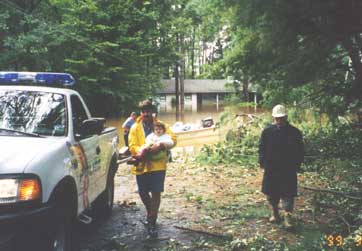
Around the corner at Westover Court at the residence of
Jeff Batts. Emergency personnel helped rescue thousands of
people from their flooded homes.
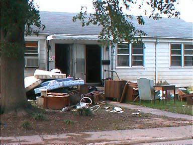
Riverside Apartments: The saddest scene in all of Rocky Mount,
displacing hundreds of mostly elderly retirees and young couples. Located close
to the
Tar River, these residents had to be rescued by boat at night; it is miraculous
that no one drowned.
All their belongings and cars were lost, with nearly all apartments flooding to
the ceiling.
There is no other place for these people to live that offers the same amenities
for a very modest price.
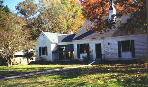
Residents of nearby S. Taylor Street were only a block from the Tar
River.
Some families are living in trailers in the yard while they try to decide to
build back.
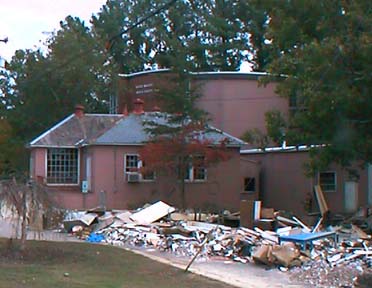
The Rocky Mount Arts Center was heavily damaged by the flooding that
reached as high as the second floor of the well-known Hines Gallery that was
created by
renovating a water tank in the 60's. Many paintings, sculpture, kilns, equipment
were destroyed.
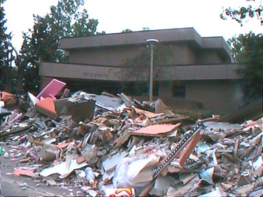
The wonderful Rocky Mount Playhouse, located on the same campus with the
Arts Center
also was inundated by the flooding. Sadly, so many of Rocky Mount's cultural and
recreational centers were nearly destroyed. In addition, The Children's Museum and Sunset Park
were heavily damaged and even 4 out of the 8 available movie screens were lost with the flooding of
K-Mart Cinema.
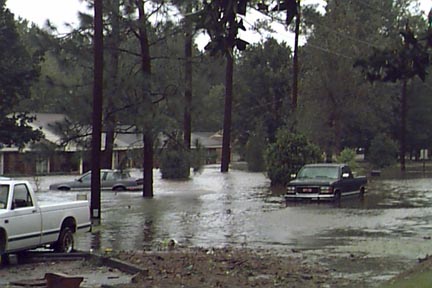
These are views taken on the 16th of September at around 9AM from
front yard in the 1700 block of Maple Creek Drive looking
North.
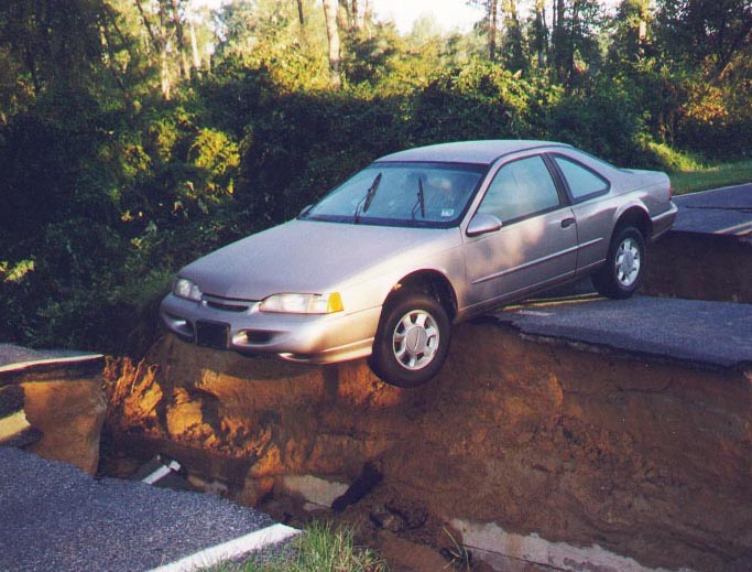
A close call near Dortches
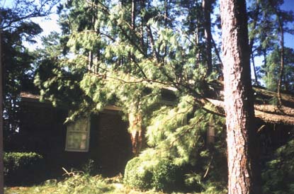
Enfield, NC - Trees down on the Gray home in Randolph Pines neighborhood
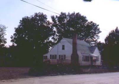
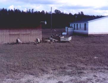
Houses shown above and below on Leggett Road off Hwy 97 near Rocky Mount.
This area was one of the largest areas of flooding. Note the high water line
can bee seen by the discoloring of the exteriors of these houses and even the
fence, grass and
ground was left with a brown, odiferous coating of mud and unknown
material.
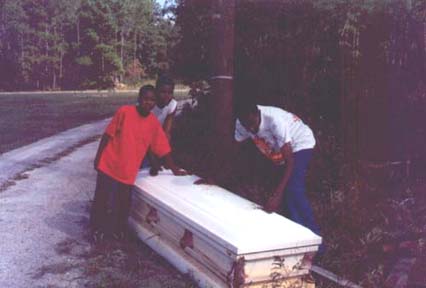
Floating casket settled in the yard of these boys who live near Dunbar.
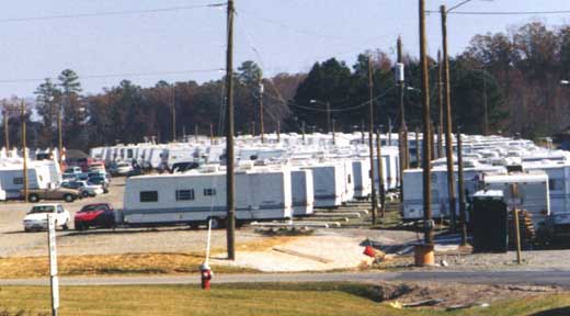
Femaville. Hundreds of temporary trailers were brought into Rocky Mount
by FEMA to house just some of the the thousands in the Rocky Mount-Tarboro area
who lost everything and had no place to go after staying in the shelters.
Main Page | Candlewood
Area | More Flooding of Rocky Mount | Tarboro
& Princeville |
Aerial Views of Rocky Mount | Other
Links with Flood Photos | How You Can Help | Recovery


